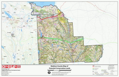
Madison County Map of Potential Conservation LandsMouse over the image to zoom into an area. If you have a mouse wheel you can use it to zoom in and out. If the zoomed image is below the bottom of your browser window, put your browser in Full Screen mode ([F11] key for most browsers). Please note that the zoomed image is very large and will take up to a minute to download.

|